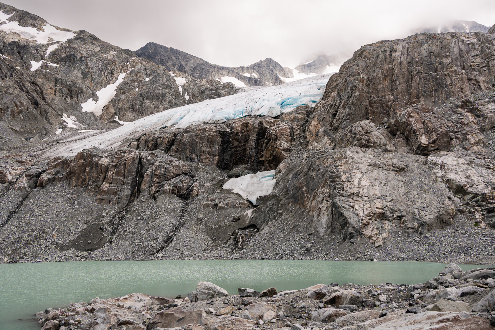
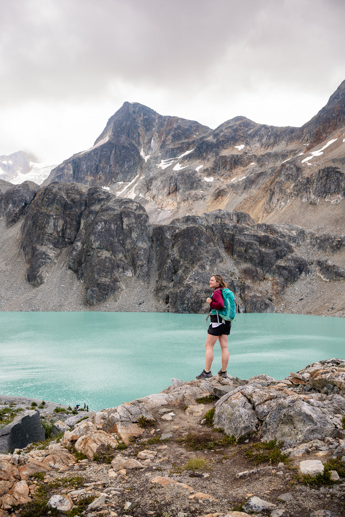
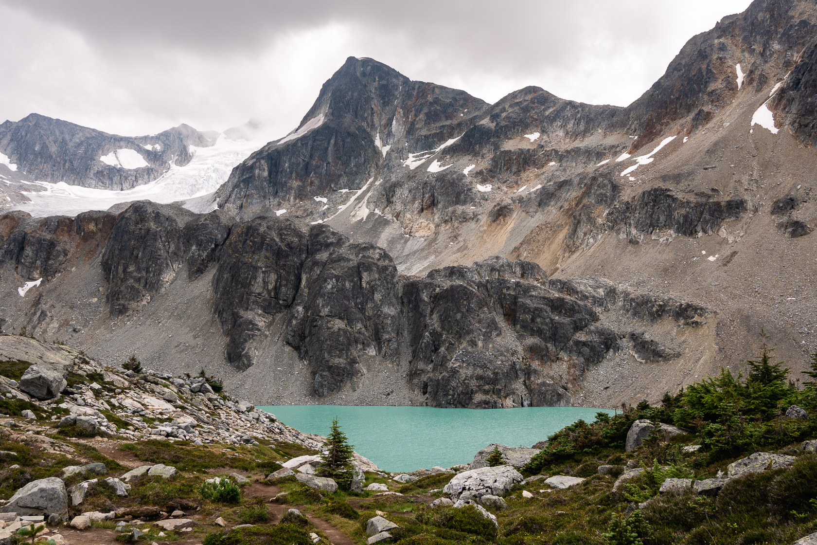
With two turquoise lakes, scenic glaciers and rugged mountains, Wedgemount Lake is one of the most spectacular hikes in Garibaldi Provincial Park near Whistler. We did it as a day hike but we’re already planning to go back next summer and camp for a night.
It’s not an easy hike, but if you feel up to the challenge, here are all the details.
Where to park for the Wedgemount Lake trail
It takes around 1 hour and 45 minutes to drive from Vancouver to the start of the trail.
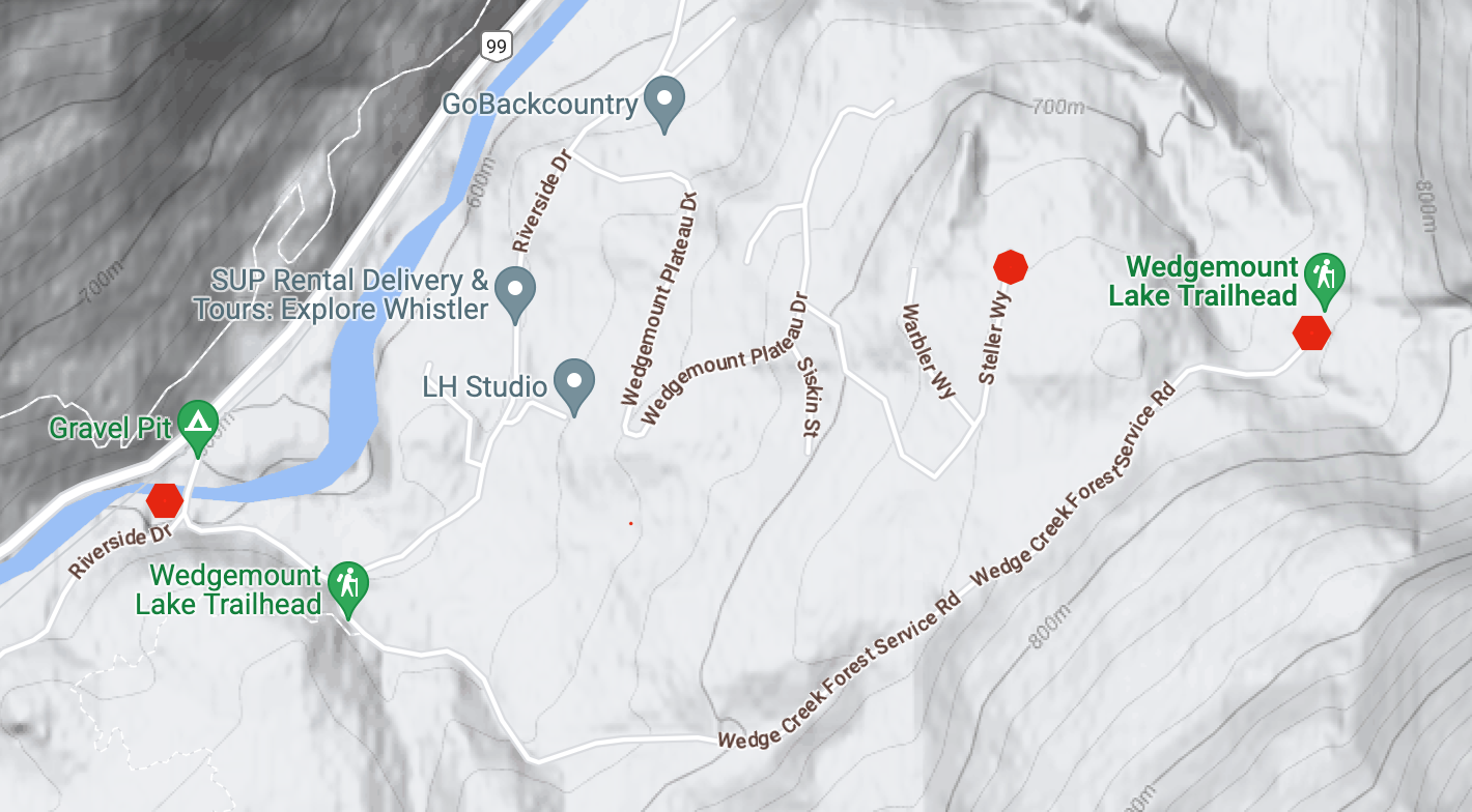
The best parking option is the Wedgemount Trailhead car park, but be prepared for a VERY bumpy gravel road. Outside of winter months you shouldn’t need a 4×4, but having higher clearance will definitely help. We saw a few standard sedans and compact cars in the car park, so it’s possible to get there in most vehicles, but we had an EVO and didn’t want to risk it.
You can also park on Wedgemount Forest Service Road by the Gravel Pit Camping site or further up along the gravel road, but this will add a couple of extra kilometres and approximately 200 vertical meters to your hike! Trust us, you’ll regret it on the way down!
Alternatively, you can follow directions from Google Maps to the end of Steller Way. It’s a nice, paved road and you will only add around 500m to the hike if you park there. There were no parking restrictions in the summer of 2023, but that may change in the future as the area becomes more developed.
When we arrived after 9 AM on a Sunday in July (peak season), there was only one other car parked on Steller Way (and two more when we returned), with a few parking spots still available in the official car park.
How hard is the hike to Wedgemount Lake?
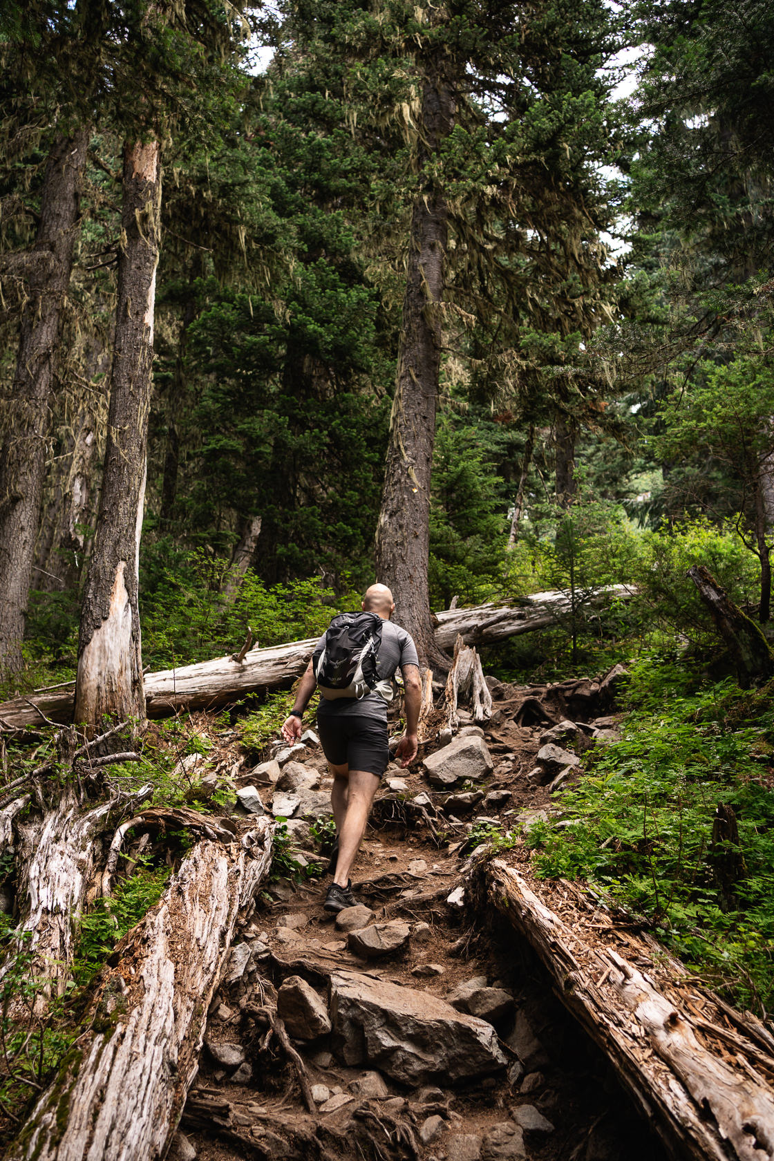
The hike is a long, pretty constant uphill grind ascending over 1300 vertical meters, but there are a couple of relatively long flat(ish) sections along the way. Going down was worse than going up, as it’s hard on your knees due to the steep terrain and the somewhat slippery surface which includes loose dirt, gravel and small rocks. Hiking poles can be quite helpful, although we managed without them.
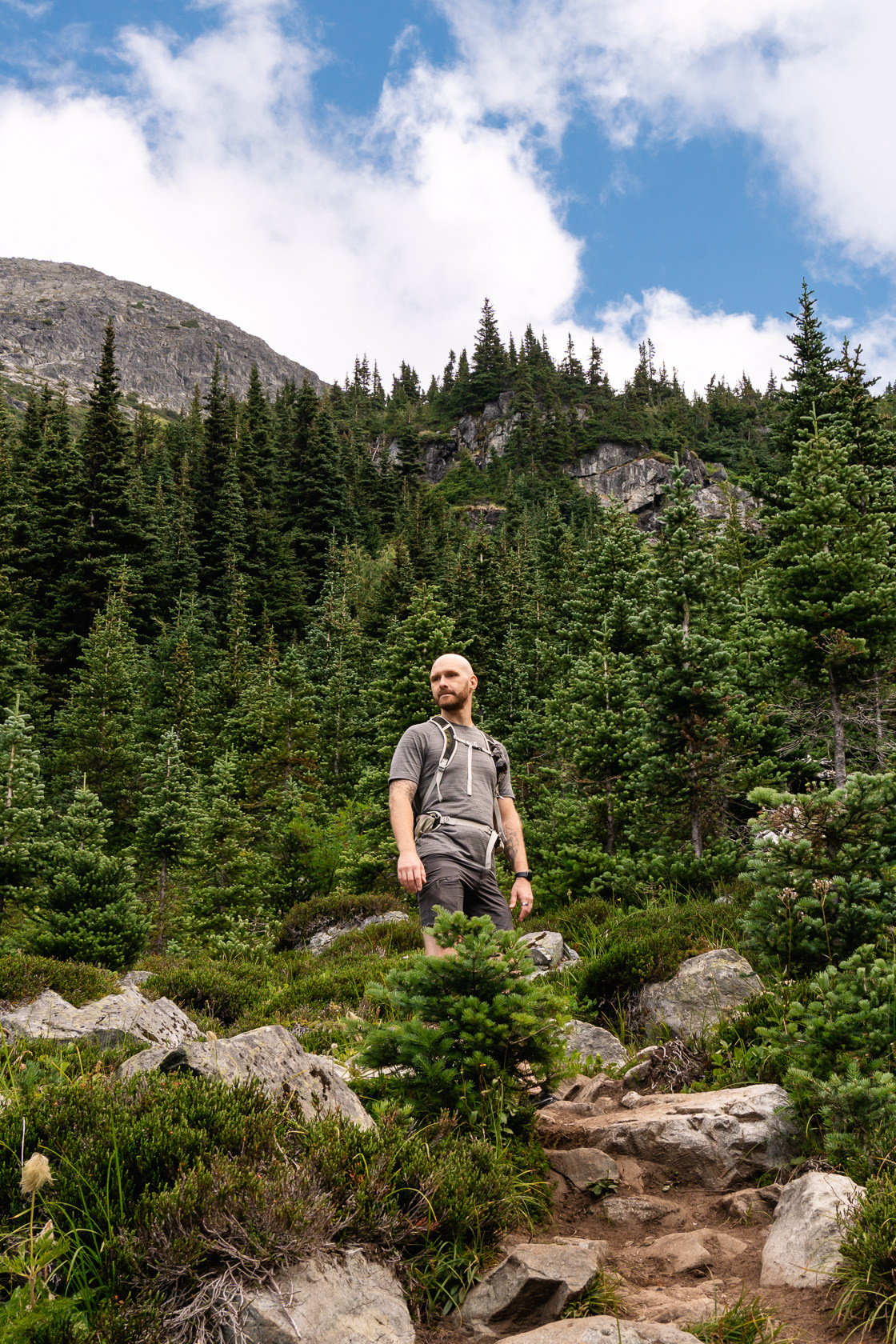
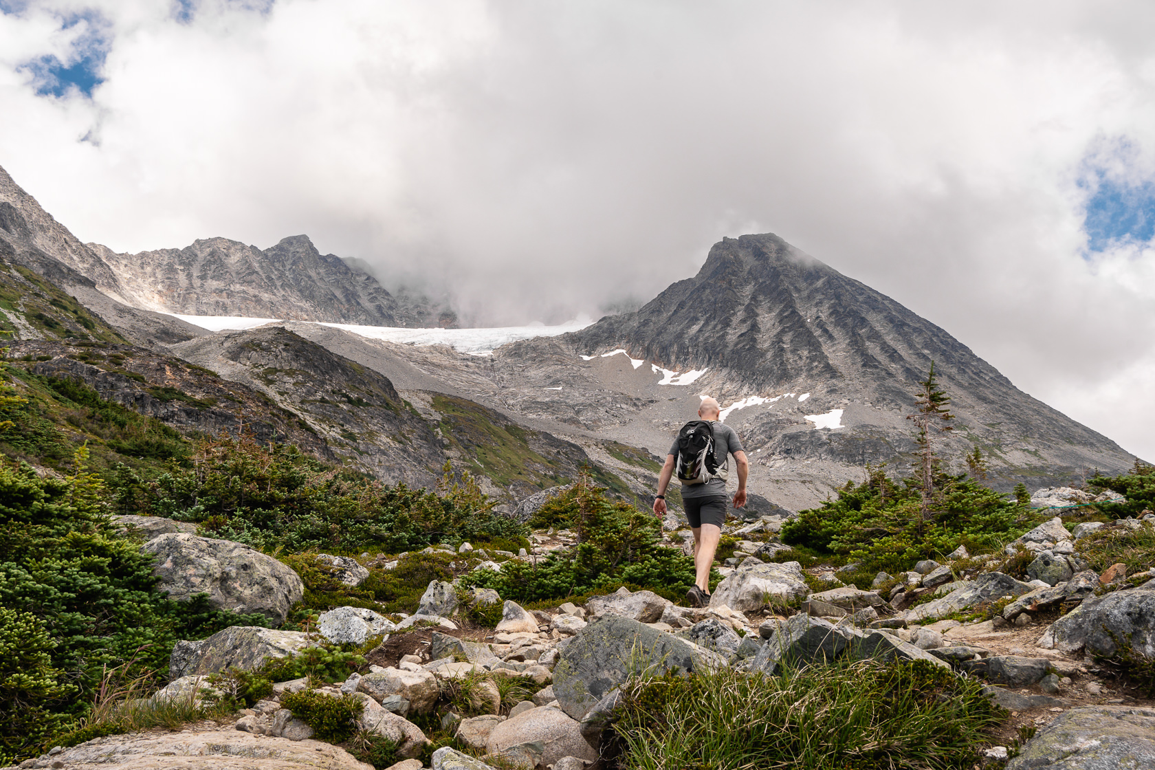
The final section before reaching the first lake looks like an almost vertical wall of large rocks and boulders at first glance. But as you get closer, you’ll notice a clear path and there are only a few spots where you’ll need to use your hands to scramble. There’s no exposure, and no technical scrambling skills required on the way up. Negotiating the same section on the way down is a bit more awkward due to its steepness. It’s not a typical mountain path hike, but it’s not a pure scramble either.
Is the Wedgemount Lake hike worth the effort?
As you reach the top of the scramble, the view will make all the effort worth it! Mount Cook, Mount Weart and Armchair Glacier look absolutely amazing from this spot! From this point, it’s mostly flat and very soon you will see the first lake. Keep in mind that the appearance of the lake can vary depending on the time of year and weather. During our hike on a partially cloudy day at the end of July, the water had a nice teal colour although somewhat muted. On a sunny day, the colour will look much more vibrant. Even though the trail is popular and there are tents scattered around the lake, there’s enough space to find a spot where you feel like there’s no one else around.
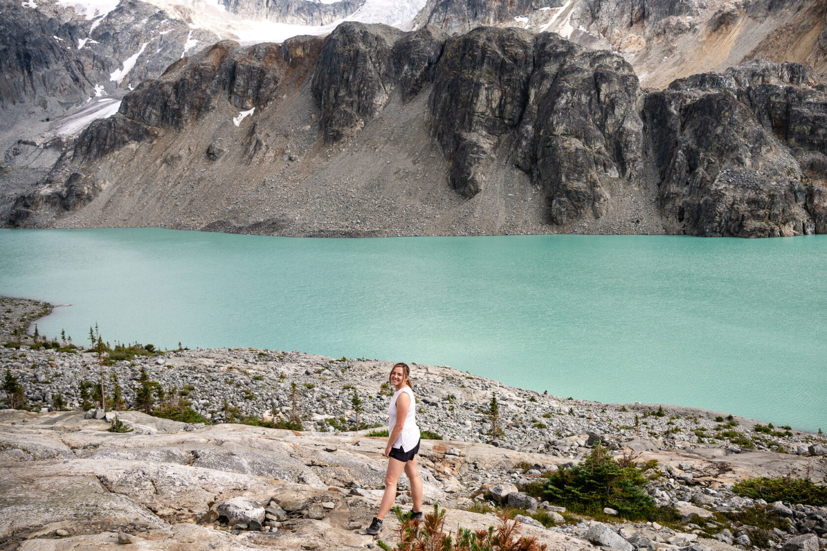
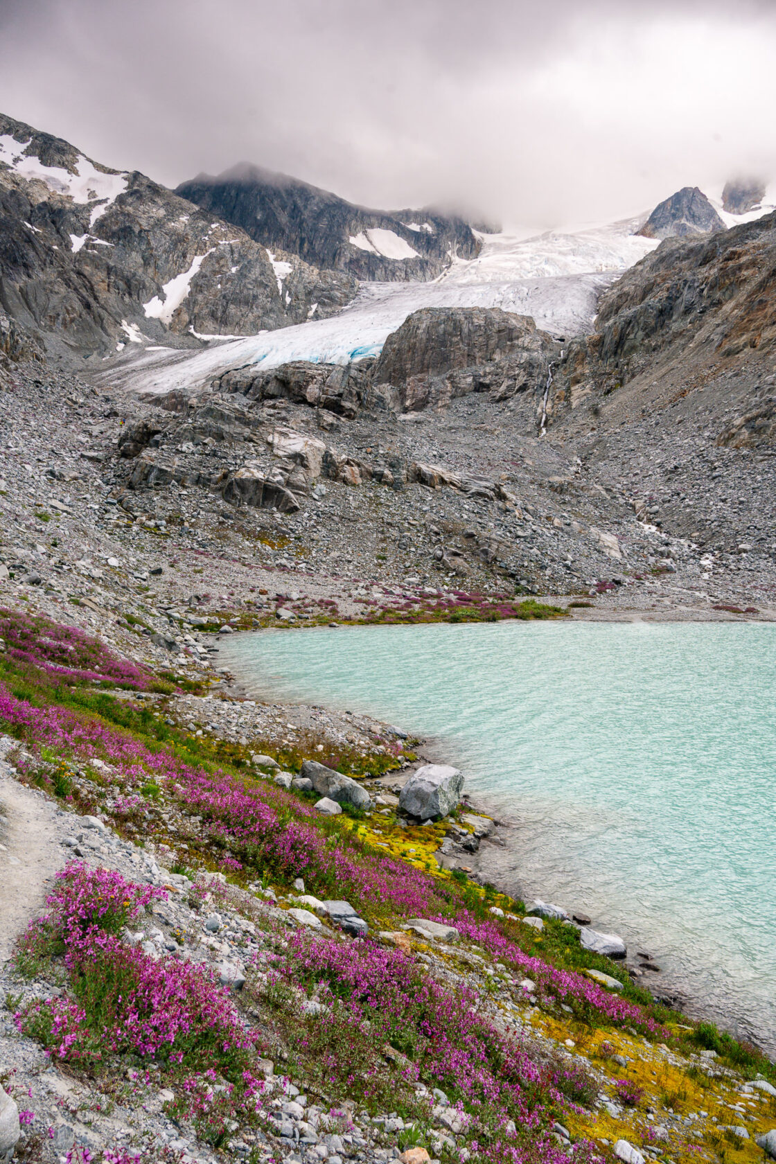
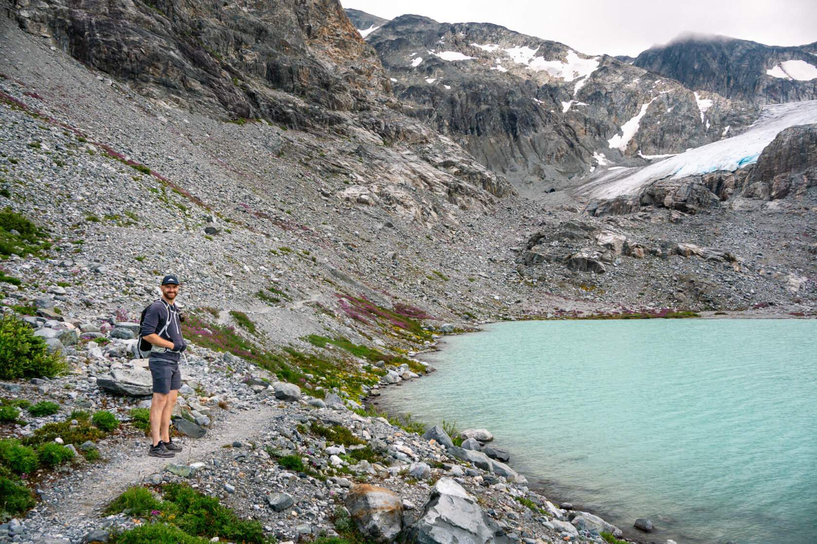
You can follow the path along the lake and then a little bit uphill to reach the second lake. It’s much smaller and doesn’t look as picturesque as the first one, but it’s still beautiful and you’ll be much closer to the Wedgemount Glacier. Depending on the conditions and how much time you have, you can try hiking further up to check out the ice caves. You’ll also get a nice view of the first lake from there.
We had our lunch at the second lake, took a lot of photos (it’s hard not to!) and then started heading back. Like we mentioned before, the hike down can be quite hard on your knees, especially without hiking poles, and some sections get a bit more tricky.
This hike is 100% worth doing – challenging and incredibly rewarding when you reach the open section at the top and of course the Wedgemount Lake. We will definitely be back next year to do it again.
The disappearing Wedgemount Glacier
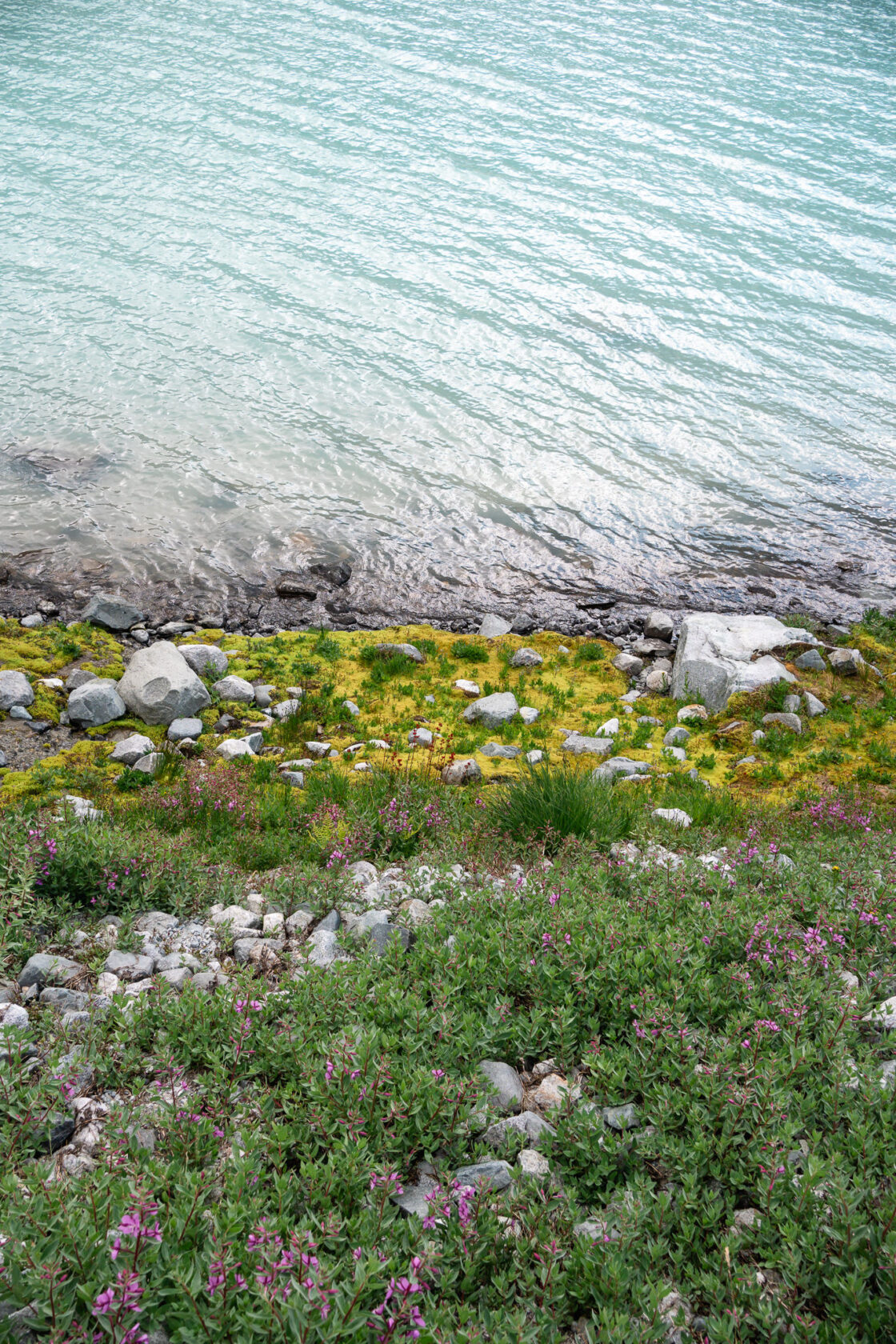
When we were searching for information about the Wedgemount Glacier, we stumbled upon a photo taken by Karl Ricker in 2005, featuring an outline of Tupper Lake (the second lake) that did not exist at that time. Karl has been monitoring the glacier for nearly 50 years, and we were astonished to discover that the Wedgemount Glacier used to extend to Wedgemount Lake, but it has since receded by over half a kilometer since Karl began his research. The shrinking and disappearing of mountain glaciers is one of the clearest signs that the Earth’s getting warmer, and it’s sad to think that one day the Wedgemount Glacier may disappear all together.
If you’re interested in this topic, you can read more on the Whistler Naturalists website.
Wedgemount Lake Hike FAQ
How long is the Wedgemount Lake hike?
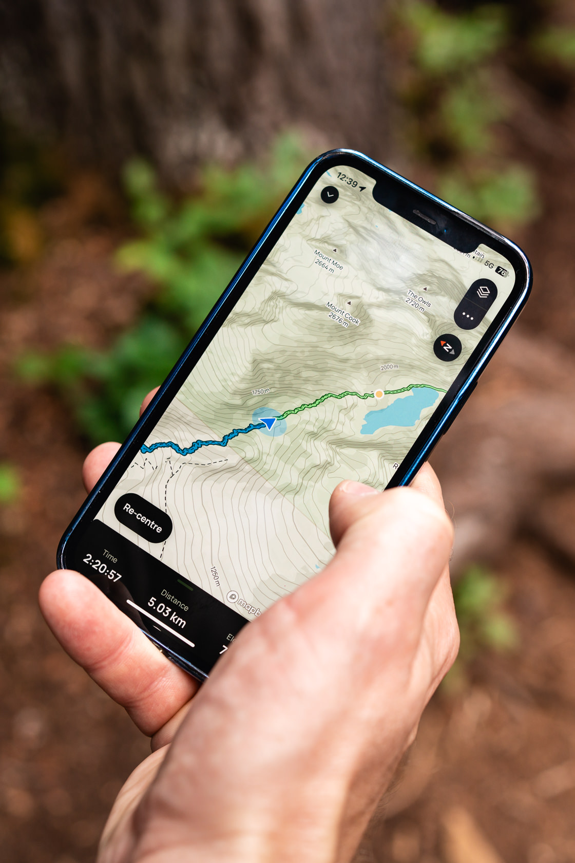
The hike is at least 14km round trip, despite the AllTrails app saying it’s 11km. When we did it, it ended up being almost 18km because we spent a lot of time walking around the lake taking photos.
Are there toilets on the trail?
There is a toilet (a very basic outhouse) at the official car park and two more similar toilets once you reach the lake, but you’ll need to bring your own toilet paper.
Can I bring my dog?
No, dogs are not allowed on the Wedgemount Lake trail or any other trails within the Garibaldi Provincial Park.
Can I expect to see any wildlife while hiking the Wedgemount Lake?
We spotted a few grey jays, chipmunks, squirrels and a marmot, and of course, it’s possible to encounter bears so make sure to carry bear spray with you. There are other large mammals here according to the BC Parks website, such as deer, mountain goats, cougars and wolverines, but they are not that common.
Is it cold at the lake?
The lake is at almost 1900 meters so definitely bring some extra layers with you as it can get quite chilly there, even on a sunny day.
Can I camp at Wedgemount Lake?
Yes, but you need a camping permit. You can make a reservation through the BC Parks reservations system.
Got more questions about the hike?
Just drop them in the comments, and we’ll be glad to help!
